


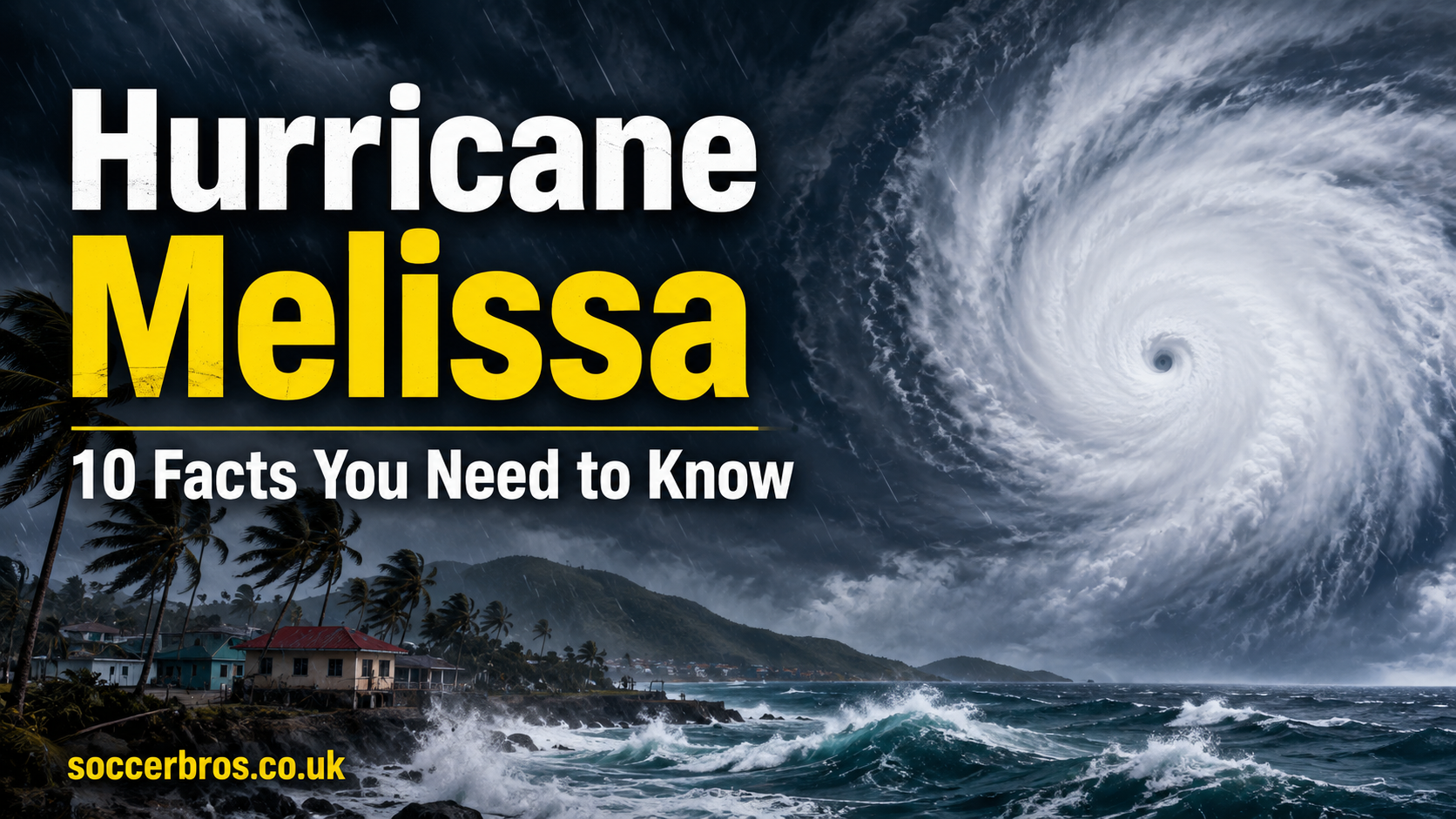

Hurricane Melissa: 10 Facts You Need to Know
Hurricane forecasts can feel distant when they first appear on a weather map. A cluster of clouds forms over warm water, meteorologists begin watching it, and a name is added to the seasonal list. Then, sometimes with frightening speed, that small disturbance becomes a disaster that changes entire communities.
That is exactly why Hurricane Melissa remains such an important storm to understand.
The powerful hurricane developed over the Caribbean in October 2025 and intensified into one of the strongest tropical cyclones ever recorded in the Atlantic basin. It struck Jamaica with catastrophic winds, crossed eastern Cuba, produced destructive flooding across several Caribbean nations, and left a long recovery effort behind.
Its story is not only about wind speed or hurricane categories. It is also about early warnings, emergency planning, climate risk, vulnerable infrastructure, community resilience, and the human cost of extreme weather.
Here are 10 essential facts about Hurricane Melissa, including its development, historic intensity, path, damage, recovery, and lasting legacy.
Hurricane Melissa Quick Facts
| Detail | Information |
|---|---|
| Storm name | Hurricane Melissa |
| Hurricane season | 2025 Atlantic hurricane season |
| Active period | October 21–31, 2025 |
| Highest category | Category 5 |
| Peak sustained winds | 190 mph |
| Jamaica landfall intensity | 185 mph |
| Jamaica landfall date | October 28, 2025 |
| Jamaica landfall location | Near New Hope, Westmoreland |
| Cuba landfall strength | Category 3 |
| Most affected areas | Jamaica, Haiti, Cuba and nearby Caribbean islands |
| Regional death toll | More than 90 people |
| Estimated losses in Jamaica | Approximately $8.8 billion |
| Name status | Retired and replaced by Molly |
1. Hurricane Melissa Developed in the Caribbean
Hurricane Melissa began as a tropical storm over the Caribbean Sea on October 21, 2025. At first, the system did not look dramatically different from many other tropical disturbances that form during the Atlantic hurricane season.
However, the surrounding environment quickly became favorable for development.
Warm sea-surface temperatures supplied the storm with heat and moisture. Meanwhile, relatively low wind shear allowed its thunderstorms to organize around a strengthening center of circulation. As a result, Melissa gradually became more symmetrical and powerful.
The system moved slowly near Hispaniola and Jamaica. That slow movement created an early rainfall threat because the same communities remained under heavy rain bands for long periods.
Why slow-moving storms are dangerous
A hurricane does not need to make direct landfall to cause serious damage. A slow tropical cyclone can repeatedly pull moisture over the same mountains, rivers, towns, and coastal communities.
This can lead to:
- Flash flooding
- River flooding
- Mudslides and landslides
- Washed-out roads
- Damaged bridges
- Contaminated water supplies
- Isolated rural communities
Long before its strongest winds reached land, Hurricane Melissa was already producing dangerous weather across parts of the Caribbean.
2. It Intensified at an Extraordinary Rate
One of the most alarming features of Hurricane Melissa was its rapid intensification.
Rapid intensification occurs when a tropical cyclone’s maximum sustained wind speed rises sharply within a short period. It can make hurricane preparation much more difficult because communities may have less time than expected to respond to a changing forecast.
Melissa strengthened from a developing hurricane into a high-end major hurricane over very warm Caribbean waters. Its central pressure dropped, its eye became clearer, and powerful thunderstorms formed a compact eyewall around the center.
By October 27, Hurricane Melissa had reached Category 5 strength on the Saffir-Simpson Hurricane Wind Scale.
That meant its sustained winds had exceeded 157 mph, the minimum level required for Category 5 status.
What fueled the rapid strengthening?
Several environmental conditions likely supported the storm’s explosive development:
- Deep, warm ocean water
- High atmospheric moisture
- Low vertical wind shear
- Strong thunderstorm organization
- Efficient upper-level airflow
- A well-defined inner core
Warm water alone does not automatically create a Category 5 hurricane. Several atmospheric ingredients must work together. In Melissa’s case, those ingredients lined up at the worst possible time for Jamaica.
3. Hurricane Melissa Reached 190 mph Winds
Post-storm analysis found that Hurricane Melissa reached maximum sustained winds of approximately 190 mph at peak intensity.
That placed it among the most intense hurricanes ever observed in the Atlantic basin.
To understand what 190 mph means, consider that winds at this level can destroy many well-built homes, remove roofs, collapse walls, uproot large trees, snap power poles, and turn loose debris into dangerous projectiles.
The storm’s central pressure also dropped to around 892 millibars near peak strength. In general, lower central pressure indicates a more intense tropical cyclone.
However, wind speed and pressure are not the only measures of danger. The hurricane also carried heavy rainfall, destructive waves, storm surge, and a broad area of tropical-storm-force winds.
A hurricane is more than its category
The Saffir-Simpson scale measures maximum sustained wind speed. It does not directly measure:
- Rainfall totals
- Flood depth
- Storm size
- Forward speed
- Landslide risk
- Wave height
- Duration of damaging conditions
Therefore, residents should never focus only on the category number. A lower-category storm can still produce deadly flooding, while a compact Category 5 hurricane can cause extreme structural damage near its core.
4. It Made a Historic Category 5 Landfall in Jamaica
Hurricane Melissa made landfall near New Hope in Westmoreland, southwestern Jamaica, on October 28, 2025.
At landfall, the storm carried sustained winds of about 185 mph and had an estimated central pressure of 897 millibars, according to the final post-storm analysis.
This was the first recorded Category 5 hurricane landfall in Jamaica and the strongest hurricane known to strike the country.
The event also tied Melissa with Hurricane Dorian in 2019 and the 1935 Labor Day hurricane for the highest sustained landfall wind speed recorded in the Atlantic basin.
That comparison helps explain the scale of the event. Jamaica had experienced damaging hurricanes before, including Hurricane Gilbert in 1988. Yet Hurricane Melissa arrived with an intensity beyond anything previously documented at landfall on the island.
Why southwestern Jamaica faced extreme danger
The strongest part of a hurricane is usually found in and around the eyewall. Communities near Melissa’s landfall location faced the storm’s most violent winds, intense rainfall, flying debris, falling trees, and rapidly changing air pressure.
Coastal areas were also exposed to storm surge and large breaking waves. Farther inland, Jamaica’s mountainous terrain increased the risk of flash floods and landslides.
The storm affected homes, businesses, farms, hospitals, schools, roads, communication systems, electricity networks, and water services.
5. Jamaica Suffered Catastrophic Damage
The damage caused by Hurricane Melissa was not limited to one town or one type of building. Western and southern areas of Jamaica experienced widespread destruction, while communities elsewhere dealt with flooding, power loss, blocked roads, and disrupted public services.
Thousands of homes were damaged or destroyed. Roofs were torn away, utility poles fell, trees blocked roads, and floodwater entered residential and commercial properties.
Agriculture also suffered heavily. Jamaica’s farmers faced damage to crops, livestock facilities, irrigation systems, storage buildings, rural roads, and local markets.
Major areas of concern included:
- Residential housing
- Hospitals and health clinics
- Schools and community centers
- Electricity transmission
- Drinking-water systems
- Telecommunications
- Tourism facilities
- Airports and seaports
- Roads and bridges
- Farms and fishing communities
Damage to infrastructure often creates a second crisis after the wind stops. A blocked road can delay medical help. A damaged water system can raise the risk of illness. A power outage can affect hospitals, food storage, mobile networks, and fuel distribution.
For many families, recovery did not begin when the storm moved away. It began when they stepped outside and saw what was left.
6. The Economic Losses Were Enormous
The estimated economic losses caused by Hurricane Melissa in Jamaica reached approximately $8.8 billion.
That figure represented more than 41 percent of the country’s gross domestic product, showing how one natural disaster can affect an entire national economy.
Direct damage included destroyed homes, damaged buildings, broken utility systems, lost crops, damaged vehicles, and affected tourism facilities. Indirect losses continued after the storm through business closures, reduced travel, lower agricultural output, disrupted trade, and long-term reconstruction costs.
Why hurricane damage lasts for years
Large disasters create financial pressure at nearly every level.
Families may need to rebuild without enough insurance. Small businesses can lose stock, equipment, customers, and income. Governments must repair roads, schools, hospitals, ports, and public utilities while continuing to provide normal services.
In addition, tourism-dependent economies may experience cancellations and reduced visitor confidence. Farmers may have to wait months or years for fruit trees and other crops to return to full production.
Therefore, the full cost of Hurricane Melissa cannot be measured only by the first damage estimate. Its economic and social effects continued well beyond October 2025.
7. Haiti Faced Deadly Flooding Even Without a Direct Landfall
Jamaica received the hurricane’s strongest winds, but Haiti also suffered serious consequences.
Hurricane Melissa produced prolonged rainfall over parts of Hispaniola. In Haiti, heavy rain caused river flooding, flash floods, landslides, damaged homes, and difficult conditions for communities already facing economic and humanitarian challenges.
This is an important reminder: the center of a hurricane is not the only dangerous place.
Large rain bands can stretch hundreds of miles away from the eye. Mountain slopes can force moist air upward, producing even heavier rainfall. Rivers may rise rapidly, especially when the soil is already wet.
Floodwater creates several risks
Flooding can cause immediate drowning danger, but it can also lead to:
- Building collapse
- Road and bridge damage
- Loss of food supplies
- Water contamination
- Increased disease risk
- Displacement
- Crop destruction
- Reduced access to hospitals
- Delays in emergency assistance
Haiti accounted for a significant share of the more than 90 deaths linked to Hurricane Melissa across the Caribbean. The tragedy showed why rainfall forecasts deserve as much attention as wind forecasts.
8. Melissa Struck Eastern Cuba as a Category 3 Hurricane
After crossing Jamaica, Hurricane Melissa moved toward eastern Cuba.
It made landfall near Chivirico in Santiago de Cuba Province on October 29 as a Category 3 hurricane. Although the storm had weakened from its Jamaican landfall intensity, it remained extremely dangerous.
The hurricane brought destructive winds, heavy rain, river flooding, coastal flooding, and large waves to eastern Cuba. Rainfall totals of roughly 200 to 400 millimeters were observed across parts of the affected region.
Waves between four and six meters were also reported along exposed sections of the southern coast.
Cuba’s mountainous terrain influenced the storm’s wind field and increased the threat of runoff and flooding. Rivers overflowed, bridges were damaged, roads became impassable, and some areas were temporarily cut off.
Large-scale evacuation reduced the human toll
Nearly 700,000 people were moved to safer locations before the hurricane arrived.
Authorities used television, radio, weather bulletins, evacuation plans, emergency shelters, and civil-defense operations to warn the public. Despite substantial property and infrastructure damage, these preparations helped prevent fatalities in Cuba.
That outcome offers one of the clearest lessons from Hurricane Melissa: forecasts save lives only when warnings lead to action.
9. Early Warnings Prevented an Even Greater Disaster
A storm as powerful as Hurricane Melissa could have produced a much higher death toll.
Meteorological agencies tracked the cyclone, issued advisories, updated the forecast path, explained rainfall and storm-surge risks, and warned communities about dangerous conditions before landfall.
Governments closed airports, activated shelters, ordered evacuations, suspended services, prepared emergency teams, and communicated safety instructions.
Not every person could avoid loss. Many families still lost loved ones, homes, belongings, jobs, crops, and a sense of security. However, advance planning helped move large numbers of people away from the most dangerous locations.
Effective hurricane preparation includes:
- Following official weather alerts
- Knowing the nearest shelter
- Charging mobile devices
- Storing drinking water
- Preparing medicine and first-aid supplies
- Protecting important documents
- Securing outdoor objects
- Avoiding flooded roads
- Leaving early when evacuation is ordered
- Checking on older or vulnerable neighbors
It is easy to view preparedness as a routine checklist. Hurricane Melissa showed that it can be the difference between a frightening experience and a fatal one.
10. The Name Melissa Was Retired
In March 2026, the World Meteorological Organization retired the name Melissa from the Atlantic hurricane naming list.
Storm names are normally reused every six years. However, a name can be retired when a hurricane causes exceptional death or destruction and reusing it would be insensitive or confusing.
The name Molly was selected as its replacement and is expected to appear on the Atlantic list in 2031.
Retiring the name ensures that future storms will not be called Hurricane Melissa. It also places the hurricane alongside other historic Atlantic disasters whose names were removed, including Katrina, Maria, Dorian, and Ian.
What name retirement really means
Retirement is more than a symbolic decision. It reflects the storm’s place in regional history.
What Hurricane Melissa Taught the Caribbean
Hurricane Melissa delivered several lessons that extend far beyond one hurricane season.
First, rapid intensification is a growing challenge for emergency planning. When storms strengthen quickly near land, communities have less time to prepare.
Second, extreme wind is only one part of hurricane danger. Rainfall, flooding, storm surge, waves, landslides, and infrastructure failure can affect places far from the center.
Third, strong early-warning systems matter. Accurate forecasting, clear communication, public trust, evacuation planning, and accessible shelters can sharply reduce loss of life.
Finally, recovery requires more than replacing damaged roofs. Communities need stronger housing, reliable electricity, protected water systems, improved drainage, resilient roads, secure hospitals, emergency communications, and financial support for vulnerable families.
Frequently Asked Questions About Hurricane Melissa
When did Hurricane Melissa occur?
Hurricane Melissa was active from October 21 to October 31, 2025, during the Atlantic hurricane season.
How strong was Hurricane Melissa?
At peak intensity, the hurricane reached sustained winds of approximately 190 mph, making it a powerful Category 5 storm.
Where did Hurricane Melissa make landfall?
The hurricane made its historic Jamaican landfall near New Hope in Westmoreland on October 28. It later struck eastern Cuba near Chivirico on October 29.
Was Hurricane Melissa the strongest hurricane to hit Jamaica?
Yes. It was the strongest hurricane on record to make landfall in Jamaica and the country’s first recorded Category 5 landfall.
How many people died?
More than 90 people died across Jamaica, Haiti, and other affected Caribbean islands. Jamaica reported 45 deaths.
Why was the name Melissa retired?
The name was retired because of the hurricane’s exceptional death, destruction, and lasting impact across the Caribbean.
Conclusion
Hurricane Melissa was not simply another named storm on a seasonal list. It became one of the most powerful Atlantic hurricanes ever recorded and the strongest hurricane known to make landfall in Jamaica.
Its 190 mph peak winds, historic Category 5 landfall, catastrophic damage, deadly flooding, and enormous economic cost made it a defining weather disaster of 2025.
Yet its story also highlights the value of preparation. Forecasts, emergency communication, evacuations, shelters, and public action prevented an already terrible disaster from becoming even worse.
The Caribbean’s recovery will continue long after the damaged buildings are repaired. The deeper challenge is building stronger communities before the next hurricane develops.
Share this article with anyone interested in hurricane history, climate risks, Caribbean weather, or disaster preparedness. You can also leave a comment with the fact about Hurricane Melissa that surprised you most.